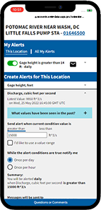
Welcome to WaterAlert
Get notifications for changes in water conditions based on thresholds you choose.
- It's free to use!
- Notifications sent to your email or phone
- Simple to create, edit and remove subscriptions
- Check out the User Guide
- Start using WaterAlert
Real-time data from USGS monitoring locations are transmitted via satellite or other telemetry to USGS offices at various intervals; in most cases, once every hour. Emergency transmissions, such as during floods, may be more frequent. Notifications will be based on the data received at these site-dependent intervals.
Read our Check Status User blog post to get an idea of common use cases for WaterAlert.
The development and maintenance of the WaterAlert system is supported by the USGS and its partners, including numerous federal, state, and local agencies.
How to use WaterAlert
Other USGS products related to WaterAlert
-
USGS National Water Dashboard
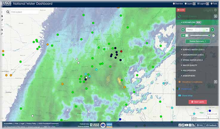
Use the national map to discover the current conditions of water data at active monitoring locations near you.
-
USGS Monitoring Location Pages
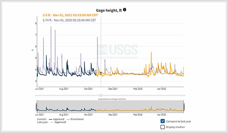
For each unique monitoring location, view detailed water data and information on an interactive graph or in tabular format.
Stay current with changes to WaterAlert and other USGS products
-
USGS Water Data for the Nation Blog
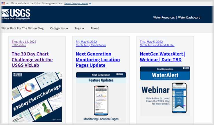
We share water data tutorials, background on how we work, key updates on our products, and opportunities to #EnGageWithUSGS like webinars!
-
USGS Water Facebook
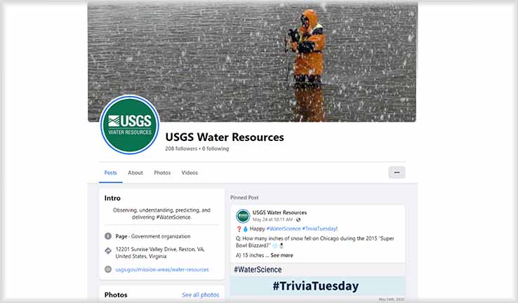
Follow us on Facebook to see new USGS publications, user stories, Trivia, and more... all related to water resources!
-
USGS Water Twitter
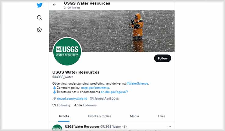
We post about all USGS water science in bite-sized chunks. #EnGageWithUSGS - send us a tweet!
-
USGS Water Instagram
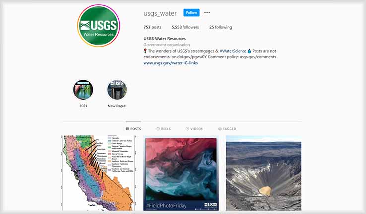
Let us brighten up your IG feed with inspiring #FieldPhotoFriday pictures and informative graphics about the latest water science.

